active travel

Introduction to Active Travel
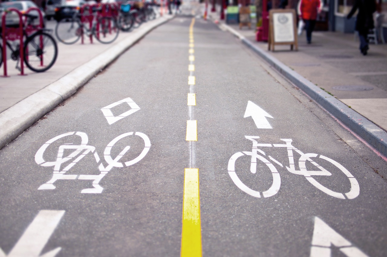
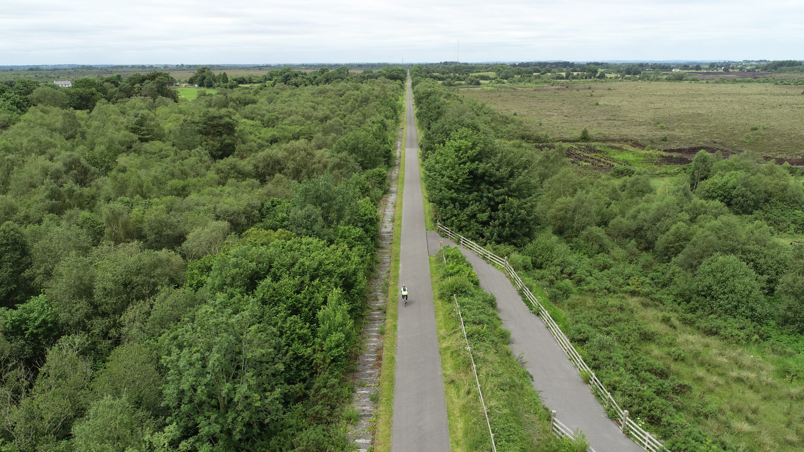
Active Travel is all about making purposeful journeys using your own energy through sustainable means. It includes walking, wheeling, cycling, and even using self-powered, non-motorised scooters. Everyday activities like walking to school or cycling to work are great examples of Active Travel, showcasing its practicality and benefits.
Pavement Assessment using Xenobike Equipment
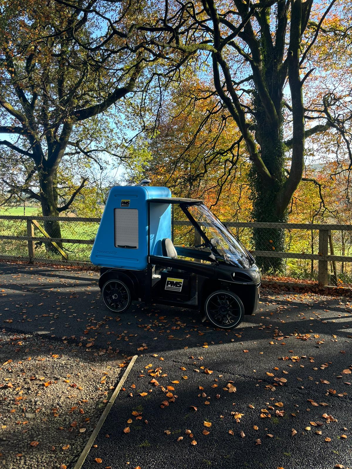
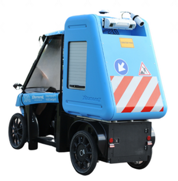
Xenobike is a state-of-the-art bike-mounted pavement assessment system which utilises XenoTrack-SL system which is a true solid-state LiDAR designed to provide detailed analysis of surface conditions on cycleways and greenways.
To ensure high levels of accuracy, a XenoAsterx RTK-GNSS and INS is used to provide GPS data and the set-up utilises advanced sensors, cameras, and machine learning algorithms to accurately detect defects, cracks, and surface wear, while delivering high-quality imagery and data analysis.

The Xenobike typically collects data at speeds of 10 to 20km/hr ensuring that there is no delay or disruption for other cycleway users. The entire data collection process is non-contact, using LiDAR and rear facing cameras in conjunction with high accurate distance measurement instrumentation (DMI) system. The data collected is normally referenced to both linear chainage and GPS coordinate systems allowing easy integration to GIS. The output data is compatible with the MapInfo/MapRoad GIS system.
Our XenoBike services are the ideal solution for local governments, urban planners, and infrastructure managers looking to maintain their roadways with precision, efficiency, and cutting-edge technology.

The Xenobike utilises the following onboard sub-systems:
- High-Resolution Cameras: Capturing detailed images of the pavement, allowing for precise identification of surface distresses.
- LIDAR & Ultrasonic Sensors: Measure surface deformations and irregularities, providing accurate data on cracking, depressions and other pavement defects.
- GPS & GIS Mapping: Integrates GPS to geolocate defects and create detailed GIS-based maps of the inspected area.
