Pavement Evaluation

Road Surface Profiler (RSP)
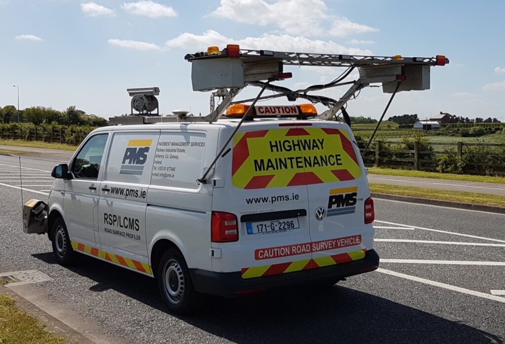
The Road Surface Profiler (RSP) is a high-precision tool for pavement data collection. Equipped with advanced lasers, accelerometers, and GPS, the RSP measures road roughness (IRI), rutting, texture, and more. Capable of operating at traffic speeds, it collects non-contact data efficiently and accurately, minimizing disruption. Outputs are easily integrated into GIS systems for detailed analysis. Optimize road network surveys with the RSP.
Laser Crack Measurement System (LCMS)
Laser Crack Measurement System (LCMS), the ultimate 3D sensor for pavement inspection. The LCMS accurately measures, detects, and quantifies cracking, rutting, texture, potholes, bleeding, shoving, raveling, and roughness in a single pass. Delivering standards-compliant results on diverse surfaces, it reduces labour costs and speeds up project completion. Outputs include XML distress data and geo-tagged JPEG images. Optimize your pavement inspection with LCMS.
Sideway-Force Coefficient Routine Investigation Machine (SCRIM®)
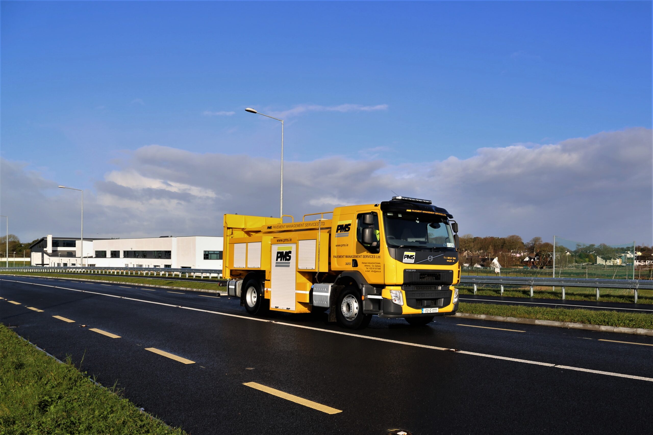
The SCRIM® (Sideway-Force Coefficient Routine Investigation Machine) accurately measures wet-road skidding resistance worldwide. It uses a fifth wheel, angled at 20°, to test road surfaces under a known load with water jets wetting the surface. Measurements from transducers calculate the Sideway Force Coefficient (SFC). Operating at 50km/hr, SCRIM® surveys extensive road networks, identifying poor surface friction, aiding maintenance decisions, and testing accident locations. Local authorities use SCRIM® to ensure compliance with friction standards and assess skid resistance post-restoration.
Falling Weight Deflectometer (FWD)
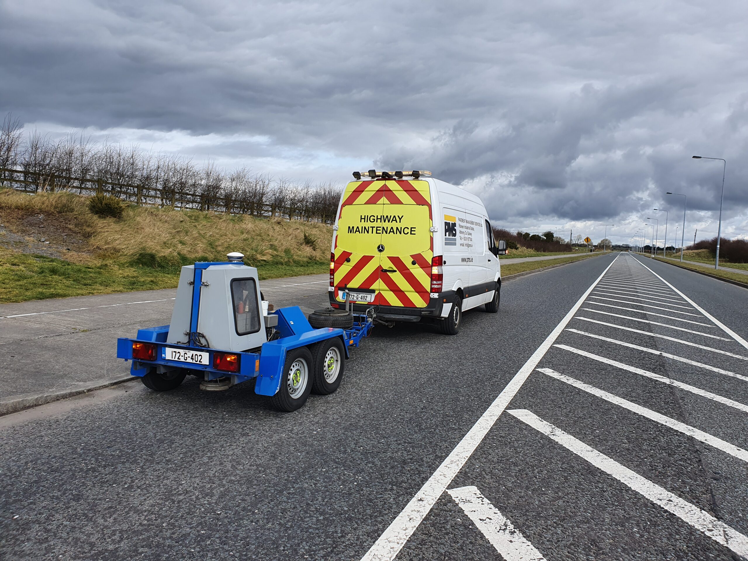
Evaluating the structural capacity of flexible or concrete pavements is crucial for maintaining road quality. Pavements should be assessed when there’s an increase in vehicle traffic, changes in the traffic mix, visible distress, a need for overlay design, or to monitor deterioration. The Falling Weight Deflectometer (FWD) is the latest deflection testing device, simulating real-world loads. At PMS Pavement Management Services Ltd. we operate a Dynatest Falling Weight Deflectometers, including an 8081 Heavyweight FWD with a range of 30 to 240 kN and 8082 FWDs with a range of 5 to 120kN. for accurate structural design, assessing in-situ material properties, calculating overlay thicknesses, and ensuring new pavement construction quality.
Ground Penetrating Radar (GPR)
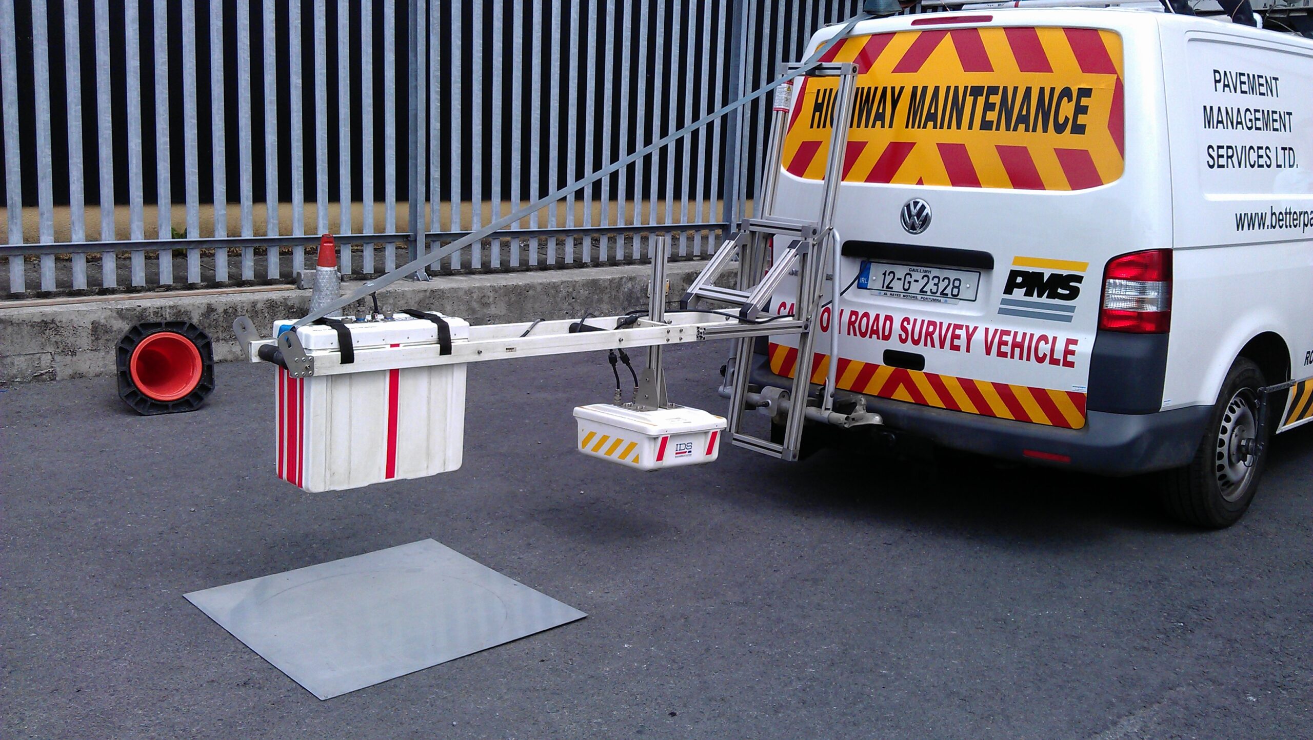
Ground Penetrating Radar (GPR) is a high-speed ground penetrating radar solution designed for road assessment. Operating with multiple antennas, it provides comprehensive evaluations of pavement thickness, road layers, cavities, cracks, wet areas, and airport runways. Equipped with air-launched horn antennas, GPR reaches speeds up to 80 km/h sampling data at 10 cm intervals. Its semi-automatic layer recognition software minimizes processing time. Modular and flexible, Hi-Pave supports up to eight antennas for efficient road construction and maintenance assessments.
Video Survey & PCI/PSCI
Pavement Management Services (PMS) Ltd. offers a Video Survey Service that utilizes high-definition video technology to capture real-time road surface conditions. Additionally, the Pavement Condition Index (PCI) assessment quantifies pavement conditions, providing insights into the impact of construction-related traffic. These services help local authorities and consultants effectively monitor road conditions and estimate necessary remedial costs for better road management.
Retroreflectometer
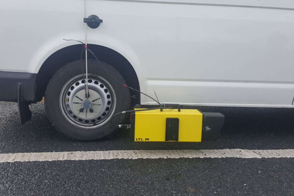
PMS uses the LTL-M mobile Retroreflectometer to measure all types of road markings at a simulated 30m distance with high accuracy. Mounted on a vehicle, it measures retroreflection at traffic speed, providing a comprehensive overview of road marking conditions. The LTL-M operates with +/- 5% accuracy and +/- 3% repeatability. It features continuous measurements, digital camera and real-time image processing, and records various marking attributes. This robust system ensures precise measurements, unaffected by vehicle movement, and delivers real-time data for professional use.

