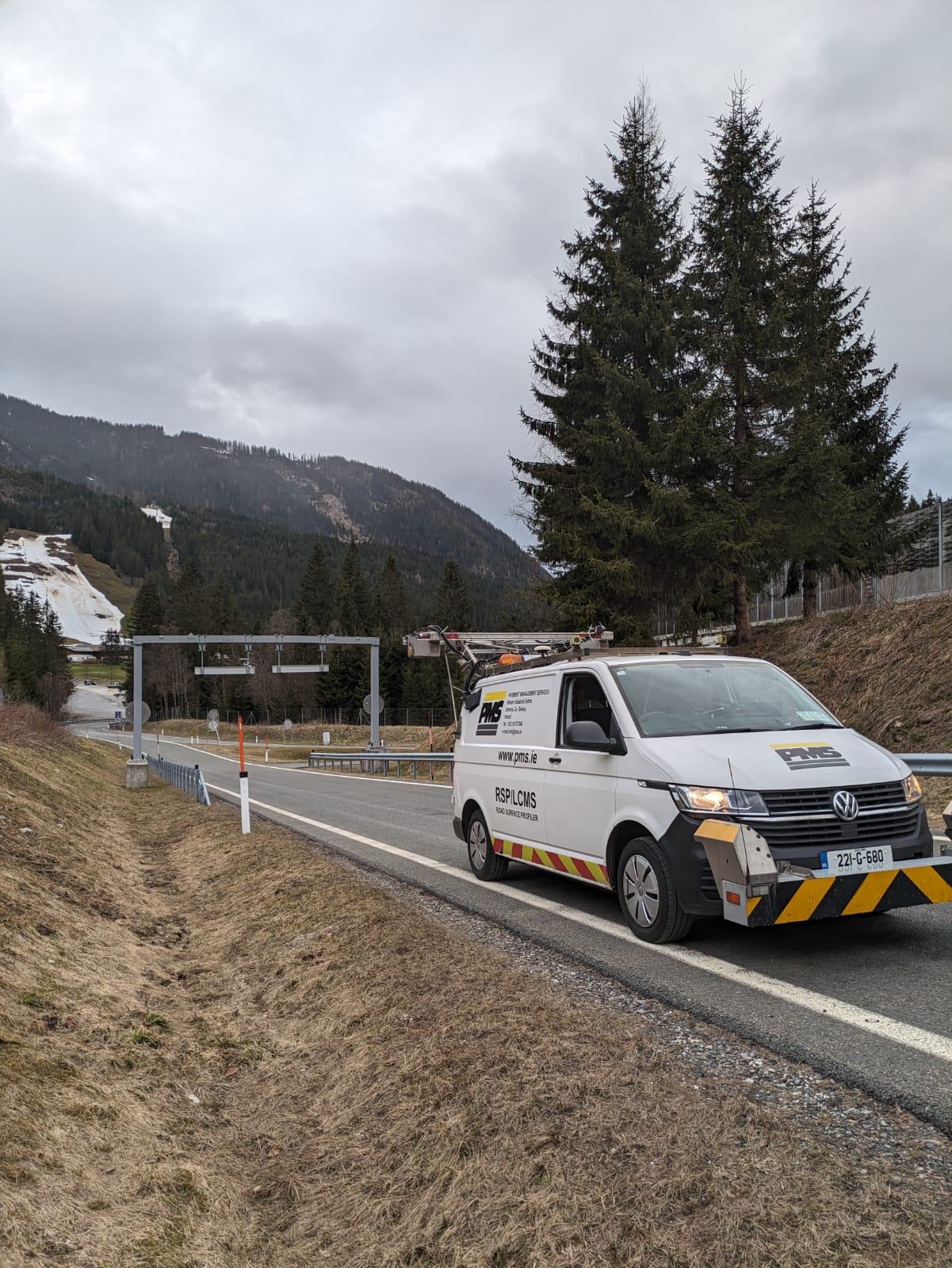
Road Surface Profiler (RSP)

Road Surface Profiler (RSP)
The RSP (Road Surface Profiler)machine is a Dynatest Model 5051 Mark III RSP test system. The RSP is a multi-purpose data collection system equipped with a computer, state-of-the-art lasers, accelerometers and inertial motion sensors for recording pavement performance data using a number of onboard sub-systems.
The entire data collection process is non-contact and can be carried out at typical vehicle operating speeds (c .70 km/hr), ensuring that there is no delay or disruption for other road users. The data collected is typically referenced to linear chainage using a very accurate distance measurement system but can also be referenced to GPS coordinate systems using sub-system 6 allowing easy integration to GIS.

RSP Measurements:
- Sub-System 1: Longitudinal Profile (International Roughness Index -IRI).
- Sub-System 2: Transverse Profile (Rut Depth).
- Sub-System 3: Macrotexture – Texture Depth (Mean Profile Depth and Root Mean Square).
- Sub-System 4: Geometrics (Crossfall, Gradient and Radius of Curvature).
- Sub-System 5: Forward Viewing Video using broadcast quality video camera.
- Sub-System 6: GPS geo-referencing coordinate system.

Efficient Pavement Data Collection
Using the RSP, six to eight individual road sections within reasonably close proximity can typically be surveyed per day in both directions. A much higher output can be achieved if the roads to be surveyed were part of a continuous road network (c. 200km per day). The data from the RSP is compatible with the ArcGIS and Mapinfo GIS systems, and the LGCSB MapRoad system.
The RSP is of particular use to local authorities for the following:
- Surveying Road Networks as part of an integrated pavement management system.
- Continuous assessment of texture in inner wheel path to identify areas of low texture depth.
- Raw profiling to assess ride quality (IRI) of pavements.
- Quality control and performance testing of new overlays and road construction.
- Collection of continuous and accurate pavement data quickly and cost-effectively.
